UF Geography charts a course toward a more water-resilient future
Meet the UF researchers addressing the world's biggest issues with water
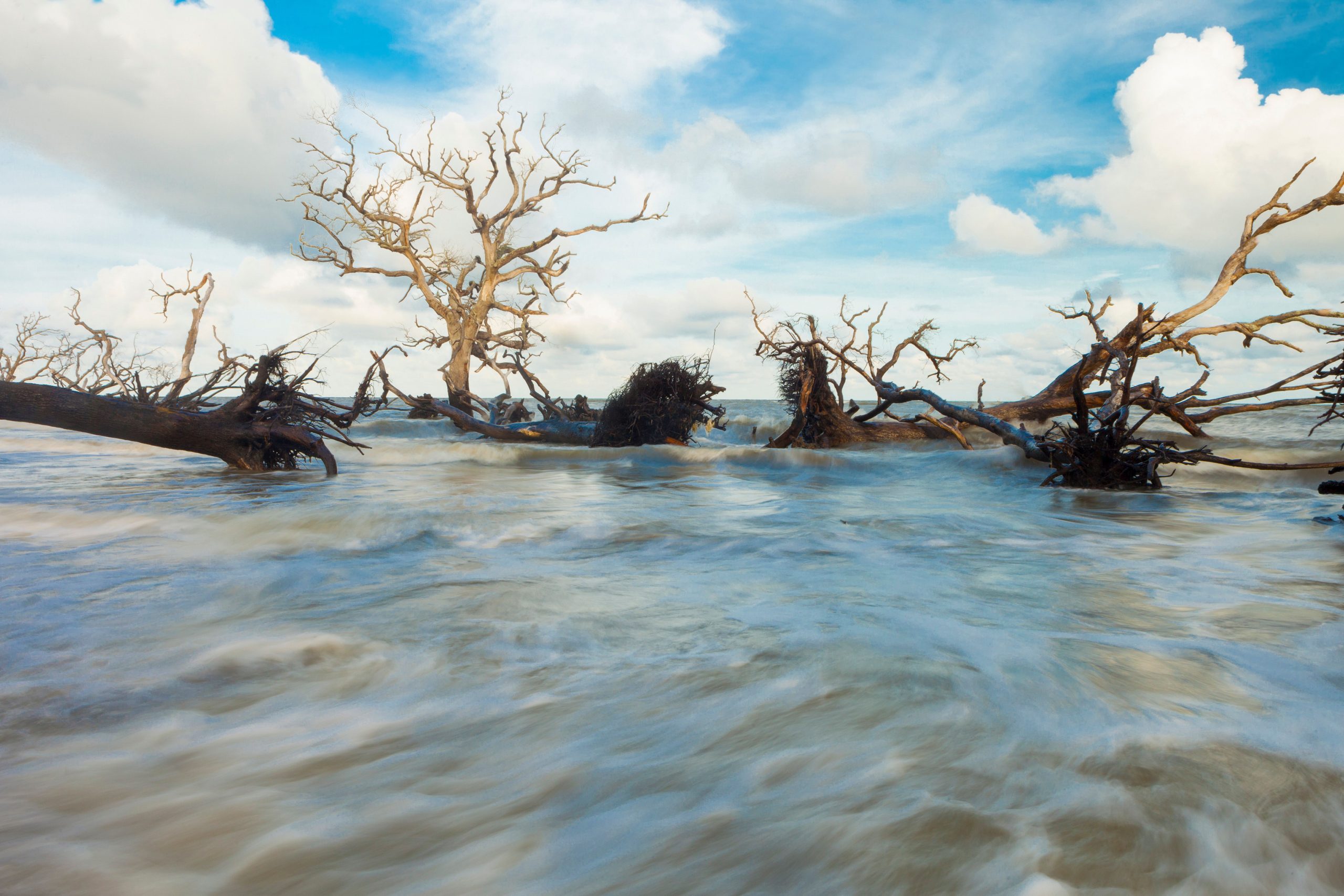
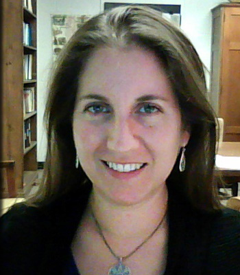
Driving through the picturesque university town of Stellenbosch, located about 30 miles east of Cape Town, South Africa, was not the enjoyable trip JANE SOUTHWORTH had expected.
“We couldn’t even get to our hotel,” she recalls. “Half of the town was under water.”
A devastating series of floods had just submerged much of the province, the result of heavy rainfall. Southworth traveled to the region last summer to research land cover change in agricultural areas, and she was confronted firsthand with the water issues afflicting many parts of the world.
In nearby Cape Town, Southworth explains that they’re using more water than they have and, during droughts, severe water restrictions are imposed. Development and irrigation practices contribute to the water scarcity issue there, but climate variability exacerbates the situation. And, despite the sudden deluge of water, there’s an even more alarming issue: Worsening droughts threaten to leave the region’s taps dry.
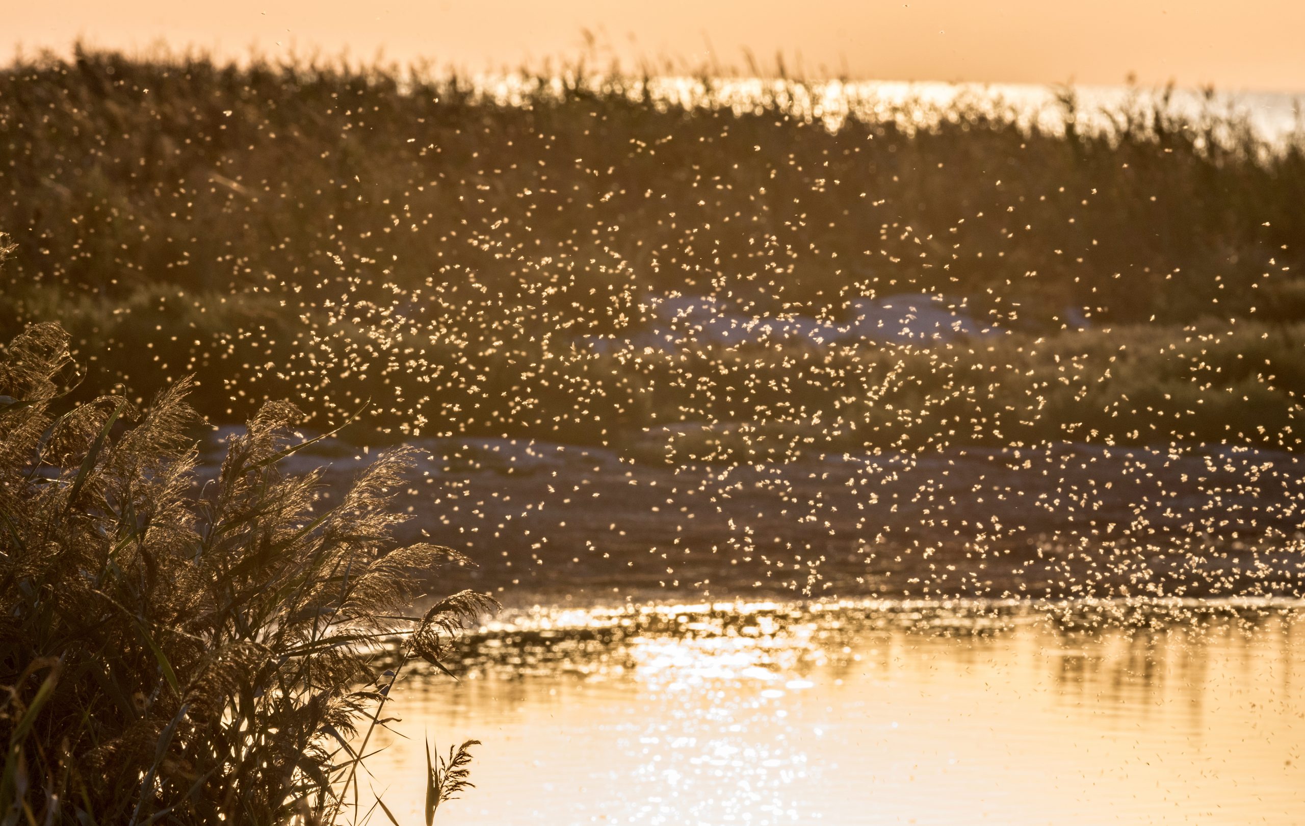
Cape Town is not the only city facing a future with too little water. The 2024 World Water Development Report reveals that 2.2 billion people worldwide do not have access to safely managed drinking water and, as of 2022, approximately half of the global population has experienced at least temporary severe water scarcity.
Geography is essential for tackling water-related challenges. Over 80% of all collected data involves a spatial component, making the mapping and analysis of water dynamics crucial for future insights.
“If you think of almost any problem that’s facing the world, it’s spatial,” Southworth said. “You can look at how things vary over space and time and start understanding those relationships. If you aren’t looking at that spatial component, you’re missing so much of what’s going on.”
At the University of Florida, geographers are delving into interrelated climate shifts and their effects on social and environmental systems. Their work is not just academic; it has vital real-world implications for the well-being of both human and natural systems.
“When we talk about climate variability and extreme weather events, they’re just everywhere right now,” she said. “It has such a huge impact on every facet of society; it’s not just the physical structures being impacted.”
Water is top of mind for Southworth and the researchers she collaborates with in the field. As professor and chair of the Department of Geography, Southworth leads the charge toward solving these pressing issues and inspiring the next generation to join the cause.
“Water, for most of us in the department, is either an event or a driver of what we’re exploring in our work,” she said. “It’s the great connector.”
Here, you’ll meet just a few of the researchers working toward a more resilient future. As graduates of the program take their newly acquired skills out into the workforce, the ripple effects of their impact extend far and wide.
Fortifying coastal communities
Assistant Professor KEVIN ASH’s childhood experiences in Tulsa, Oklahoma, sparked his interest in extreme weather events. He vividly recalls the chaos brought by a storm that overwhelmed a nearby dam, flooding multiple city areas. Today, he is a leading authority on red tides, events caused by proliferations of algae that harm local ecosystems and pose health threats by releasing toxins. These events have become more verdant and frequent over the last few decades, especially on Florida’s Gulf Coast.
“Despite their rising threat to humans, red tide and harmful algal blooms are not included in widely used risk and vulnerability metrics, such as FEMA’s National Risk Index,” Ash explained.
This shortcoming is the crux of Ash’s current research. He is currently working with a team of researchers to create a Composite Red Tide Vulnerability Index (CRTVI), to which he contributes his expertise on geospatial analysis and risk, vulnerability, and resilience metrics. They hope that this index will help communities affected by red tides better prepare for them and minimize their harmful effects on humans.
This last aspect is the key to all of Ash’s work, not just his red tide projects. He hopes that his research will give communities everywhere the tools they need to protect themselves from disasters and mitigate their damage. Once his team has finished its work on this index, Ash hopes to develop better ways to communicate the red tide risks and vulnerabilities with decision-makers and members of the public, and then apply these methodologies to other disasters like hurricanes and tornadoes.
“I want to participate in research that is impactful beyond the academic pursuit, contributing to policy changes if appropriate, and encouraging and assisting young people who are developing their interests and careers,” Ash said.
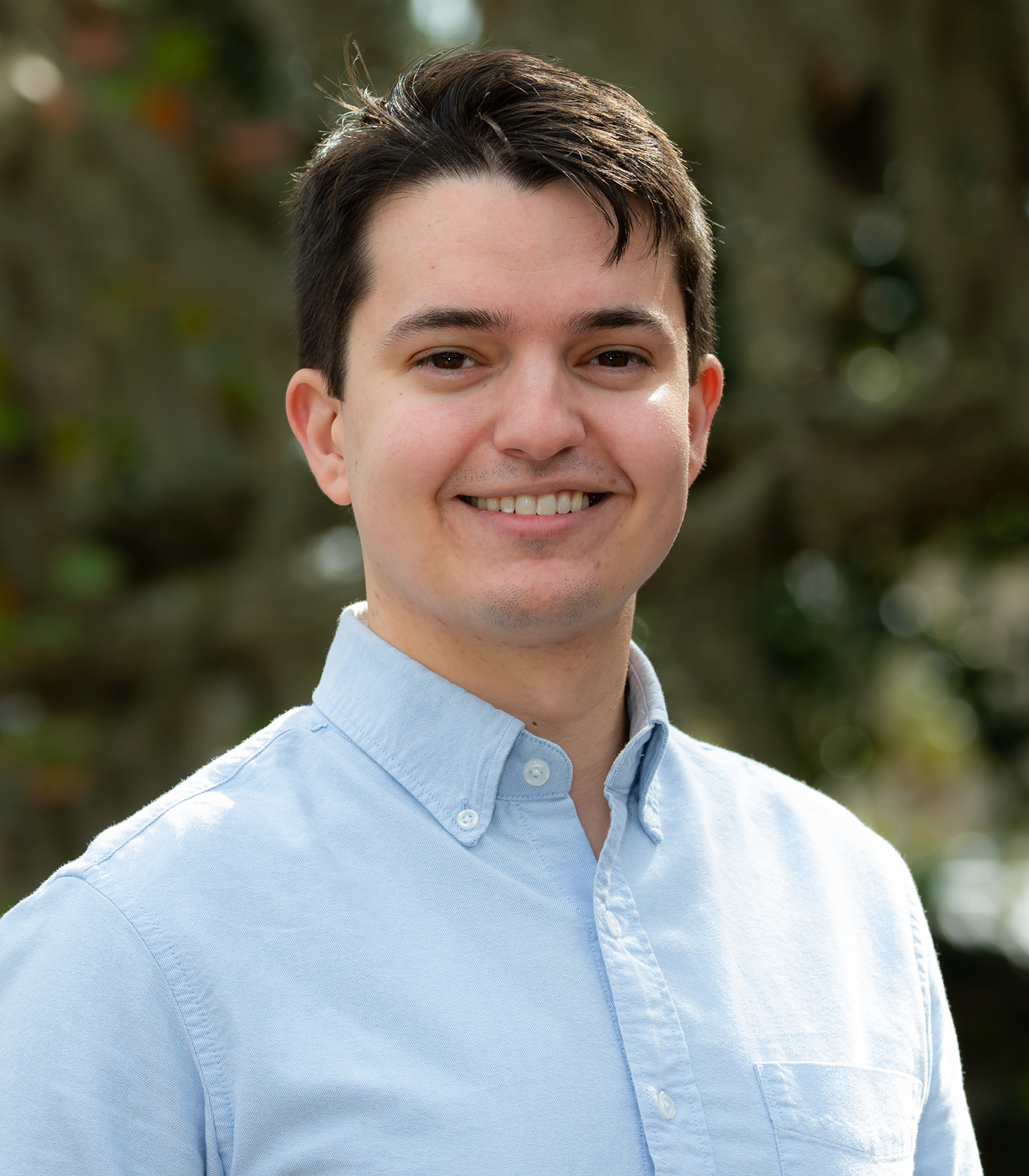
KATY SERAFIN, a coastal scientist and assistant professor, is similarly invested in coastal resilience, specializing in coastal flooding and erosion. Her journey into this field was sparked by childhood visits to the Outer Banks in North Carolina, where she was captivated by the dramatic shifts in the coastline following major storms. This early fascination led Serafin to research coastal flooding and erosion, including the factors that propel flooding events.
In Florida, where the symbiosis between land and water defines the essence of life, Serafin’s work takes on a heightened significance. The Sunshine State, with its sprawling coastlines, is a bustling hub of population, economic activity, and critical infrastructure — all resting precariously at the mercy of the tides. Her observations echo a universal truth: the health of our coastlines is inseparable from the resilience of our communities.
“Understanding why and when we have too much water in some places, and how that will evolve in the future is essential for building resilient communities in the face of flooding events,” she said.
Serafin takes her scientific findings a step further. She actively works to ensure that her findings inform real-world strategies for coastal management and planning. Her work centers on the detailed intersection of geographical changes and human impacts. She’s also committed to shaping future leaders in coastal science and those who interact with the coast.
“I hope that my courses help Florida’s future workforce develop a fundamental understanding of sea level rise and the relevant drivers of flooding and erosion hazards,” she said, “as well as grow in connecting the science they learn to real-world problems and personal decision-making.”
Quenching waterborne woes
Medical geographer JASON BLACKBURN has dedicated the last six years to investigating the impacts of climate change on health, focusing on a pathogen called Burkholderia pseudomallei (B. pseudomallei).
This bacterium, which thrives in the soil and water of tropical regions like Southeast Asia and Australia, is the cause of melioidosis, a disease that can infect humans through direct contact with contaminated environments or through the ingestion of or contact with infected animals.
Two aspects of this disease make it a concern to researchers like Blackburn. For one, waterborne diseases can spread quickly if communities are unprepared. A single compromised water source could lead to extensive outbreaks, given our essential dependence on water for drinking and agriculture. Secondly, the pathogen’s emergence in regions outside its usual domain — marked by the first U.S. report in Mississippi in 2022, as noted by the Centers for Disease Control and Prevention — signals a troubling expansion.
Blackburn hopes that understanding the disease better will help us fight it, wherever it appears. His team employs several strategies to get a full profile of the bacteria, using geospatial mapping to measure its prevalence in its home regions and identify its largest vectors, sequencing its genome, and measuring its drug resistance. Blackburn aims to use this profile to develop a dataset useful for informing policy on disease intensity in the country.
“When we know such information, we can better inform surveillance and diagnostic efforts and educate health workers and the public ahead of outbreak seasons,” Blackburn explained.
SADIE RYAN also works to bridge the gap between climate science and public health. With a strong foundation in environmental science and disease ecology, Ryan has dedicated her career to unraveling how shifting climate patterns impact the spread of infectious diseases, particularly those transmitted by vectors such as mosquitoes and ticks.
Ryan takes an active stance in informing public health planning and policy. Her research investigates how disease outbreaks can be better controlled, effectively shaping how we manage infectious disease risks.
“It is important to develop projections of how climate-sensitive infectious diseases, such as vector-borne diseases, are anticipated to shift on the landscape and change seasons of suitability,” Ryan said. “Will malaria seasons get longer in this region? Will more cities see invasions of mosquitoes previously assumed to be tropical? Tools to communicate these model outputs and inform health decisions will help us prepare and adapt in a rapidly changing world.”
As the planet warms, her studies emphasize the critical synergy between climate change, population dynamics, and disease, demanding comprehensive strategies that incorporate demographic shifts and climate models into future disease risk assessments. Ryan’s findings offer a roadmap for future research and policy development, underscoring the necessity for governments and policymakers worldwide to proactively address the evolving challenges that climate change presents to public health.
As an anthropologist, geographer, and Earth system scientist, NICOLAS GAUTHIER is dedicated to deciphering the complex relationships that exist across various times and places. His work explores how historical events such as floods or drought can trigger a cascade of effects such as migration, ecological instability, and disease spread, which may not surface until decades later.
Gauthier advocates a holistic approach that underscores the interconnectedness of environmental factors and human activities, emphasizing the need for integrated solutions. He currently leads a collaborative study with GABRIELA HAMERLINCK, investigating the enduring interplay between climate variability and the spread of infectious diseases, using the Black Death as their case study.
“By integrating historical and archaeological data on plague outbreaks with reconstructed temperature and rainfall patterns, we aim to determine whether specific climatic anomalies, such as droughts or floods in one region, can predict disease outbreaks in other regions,” he said. “This approach helps us to understand how long-term climate trends may influence disease dynamics across different geographical areas.”
Gauthier stresses the importance of a global perspective when thinking about water. There’s a fundamental interconnectedness to our water systems, he said.
“Events halfway around the world, like shifting ocean temperatures in the tropical Pacific, can have profound effects on weather patterns here in Florida,” he said. “This interconnectedness underscores how actions in one area can affect conditions in another — what is dumped into a river upstream, for example, directly impacts those living downstream.”
It’s a lesson that hits home for Gauthier, who has spent much of his life in the deserts of California and Arizona. Now, a new resident of Florida, he’s eager to shift his focus to the Sunshine State, where the issue is often too much water rather than not enough. Gauthier is confident that history has much to teach us here.
He points to Florida’s ancient Indigenous Calusa people, who crafted advanced strategies for shaping their environment. This society sustained itself on marine resources and constructed shell- made structures and artificial islands, demonstrating their skills in sustainable water management.
“They were adept at sustainably manipulating local water systems to suit their needs — skills that are invaluable for addressing contemporary challenges like sea level rise and hurricanes,” he said.
Charting the future
For Professor of Geography CORENE MATYAS, there is beauty to these storms. They were fascinated by how the storms showed up on weather radars and in satellite images; mesmerized by the swirl of clouds and the shapes of their rain patterns.
“At the age of 4, I realized that one cannot hide from severe weather events,” Matyas said. “Consequently, I vowed to learn everything that I could about hurricanes, tornadoes, floods, and other natural disasters so I could be prepared when severe weather struck.”
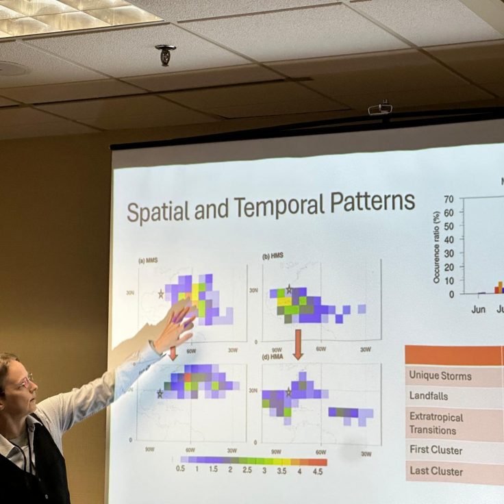
Matyas’ interests in weather and the visual arts connected at UF, where they have spent years studying the rainfall patterns of tropical cyclones and now create sculptures to communicate information about the climate system. They hope that studying these patterns will help us better understand the mechanisms of these storms, and thus improve our detection and protection capabilities. Currently, Matyas is leading a project that aims to do just that, mapping out storms from the past decade in different moisture regions to analyze how a region’s “wetness” can impact a storm’s wind and rain fields.
Matyas, alongside postdoctoral fellow DASOL KIM, has also experimented with artificial intelligence (AI) in their research. Like many fields at UF, AI has incredible potential in the Department of Geography, and many have long embraced the technology for its speed and efficiency. Matyas is currently working on projects that use AI to examine the variability of rainfall in and moisture surrounding tropical cyclones with the goal of analyzing more than 20 years of storms in the Atlantic Basin. Matyas found six typical rainfall patterns for tropical storms and hurricanes and four typical moisture patterns for hurricanes. These are associated with other variables such as wind shear, storm intensity, and sea surface temperatures, which would otherwise be a monumental task without AI’s speed.
Assistant Professor of Geography BERRY WEN has also been at the forefront of integrating AI into weather prediction systems since she arrived at UF in 2022. Among extreme weather events, Wen focuses on tornadoes, which pose significant challenges due to their rapid formation. She leverages AI and deep learning techniques to develop detection systems capable of quickly identifying conditions that lead to tornadoes, aiming to improve warning times for public safety.
However, Wen and her peers face the “black box” challenge with AI, where the internal processing details of AI systems remain obscure. Deep symbolic learning (DSL), a branch of AI, represents knowledge with symbols for clearer, interpretable explanations of its decisions. Wen applies DSL to tornado forecasting, focusing on the relationship between tornado occurrence and predictors like thermodynamic conditions and radar data. Their research shows DSL-based models outperform traditional tornado prediction indexes, offering a more transparent and accurate approach to tornado detection.
Beyond her AI work on tornado detection, Wen is also investigating droughts. Recognizing the devastation caused by prolonged dry spells, she analyzes precipitation and satellite data to gain insights into their causes. Through her research, Wen seeks to unravel the meteorological and physical drivers of droughts to improve seasonal rainfall predictions. Her ultimate objective is to advance drought detection techniques, enabling communities to better anticipate, prepare for, and mitigate the harms of these increasingly severe events.
Southworth, the department chair who recounted her experiences with flooding last summer, has been leveraging AI tools to explore climate-induced ecological shifts in South Africa’s vineyards.
With a laugh, she admits that her visits to vineyard owners, often starting with the sampling of the wines, is hardly what you’d call a “tough gig.” But her task is profound. Every glass has a backstory of climatic subtleties, a narrative that Southworth is unraveling through her research.
Over recent years, her collaborative work with vineyard owners across South Africa has involved using machine learning to analyze 30 years of land cover changes. This research helps link observational data from vineyard managers with actual changes recorded via remote sensing technologies. Recently, some vineyards have been diversifying their crops or abandoning areas due to environmental stress.
Immersed in an environment where every drop counts, Southworth notes that dryland ecosystems — those delicate balances of soil and water that support most of the global agricultural output — are at the mercy of rainfall.
“Dryland ecosystems are where all your main agricultural systems and where about 50% of the world’s people live,” she said. “It all comes back to water.”